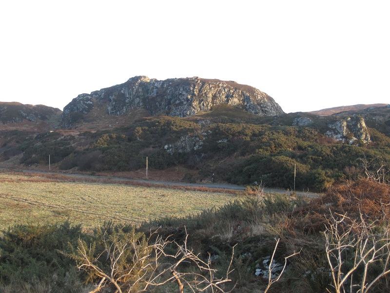
Readers might remember the Christmas competition, which aimed to identify a tiny holding on the 1808 Estate Map; purely by chance, it has now been noticed that the area in question has a proper name and is clearly shewn on the modern O.S. map – it is Cnoc an Ardrigh. As many people will know, Symington Grieve had been told that this was some sort of “pleasure ground” associated with Dun Eibhinn and he took the name to mean “Hill of the High King”. Allowing for the fact that his informants had stories from two hundred years ago, we can at least accept this as evidence that it was still remembered as a defined location. Loder challenges the spelling and prefers Cnoc an Ardruigh “High Slope Hill”, whereas a dictionary gives ruighe as “outstretched base of a mountain, shieling ground”. Evidently it was not a shieling, but it does look like the “prominent hillock of a mountain base”. One wonders if anything more will ever come to light? Maybe Grieve had the right name after all, perhaps it had been given to the place in jest, as being like a tiny kingdom? Or perhaps it was to give a local touch to some traditional tale (like The Piper’s Cave etc.)?
You May Also Like...
Recent Posts
The Front Page – July 2018
Though the not-quite-a-drought time eventually ended, summer did not part, as it might have done,...
The Front Page – June 2018
The warm dry spell that spread across the whole country in late spring and extended...
The Front Page – May 2018
Spring came late this year, but by May calving and lambing were well underway on...

